
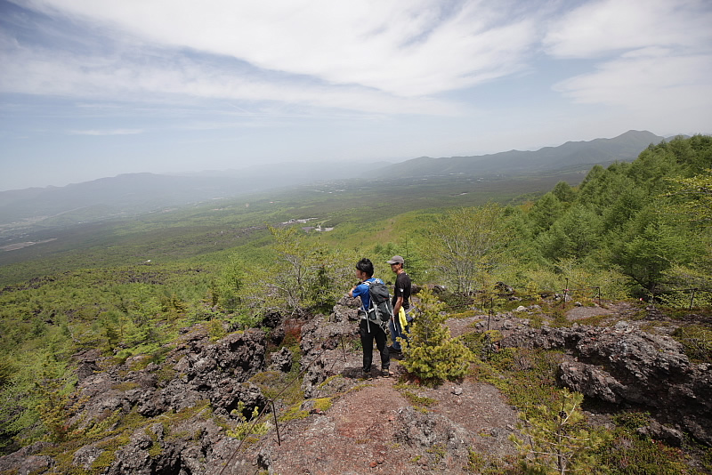
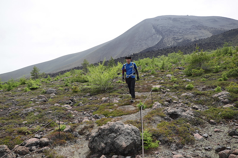
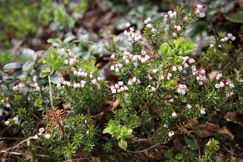
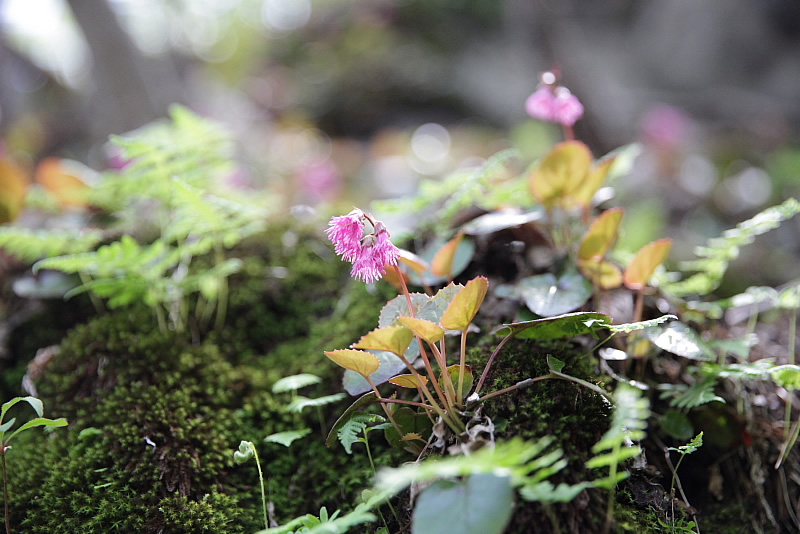
The Sky Rock Trail is a trekking course through a protected natural area in the Joshinetsu national park on the north side of Mt. Asama. The solidified lava flows, volcanic rocks, crater, and tree forms left behind by Mt. Asama's eruptions, and the alpine flora, are recognized as an important natural heritage site by the Geopark organization.
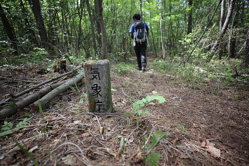
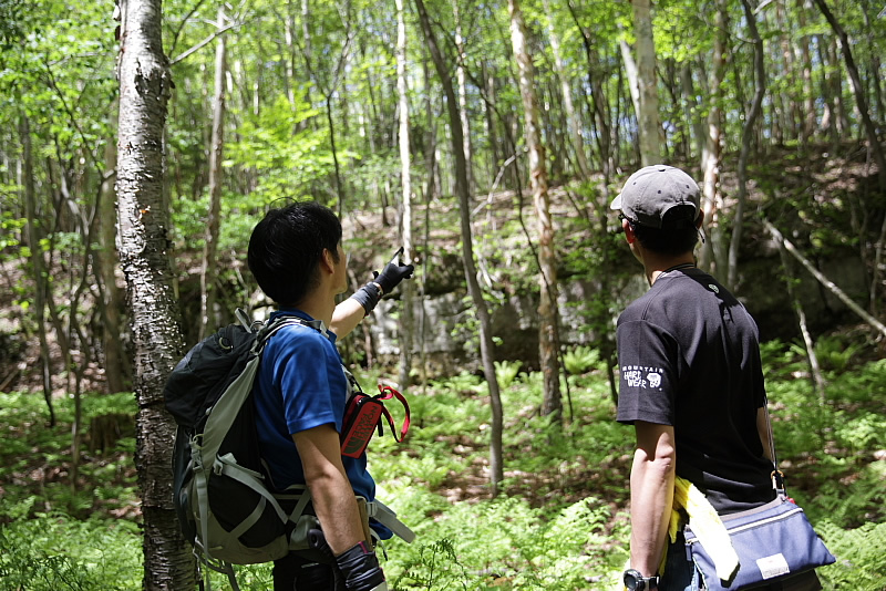
Mt. Asama is one of the most active volcanoes in Japan. Despite 24-hour monitoring by the Meteorological Agency, eruptions are still difficult to predict. For safety reasons, on this trail you must be accompanied by a certified guide (reservation required 1 week in advance) and need to sign a consent form.
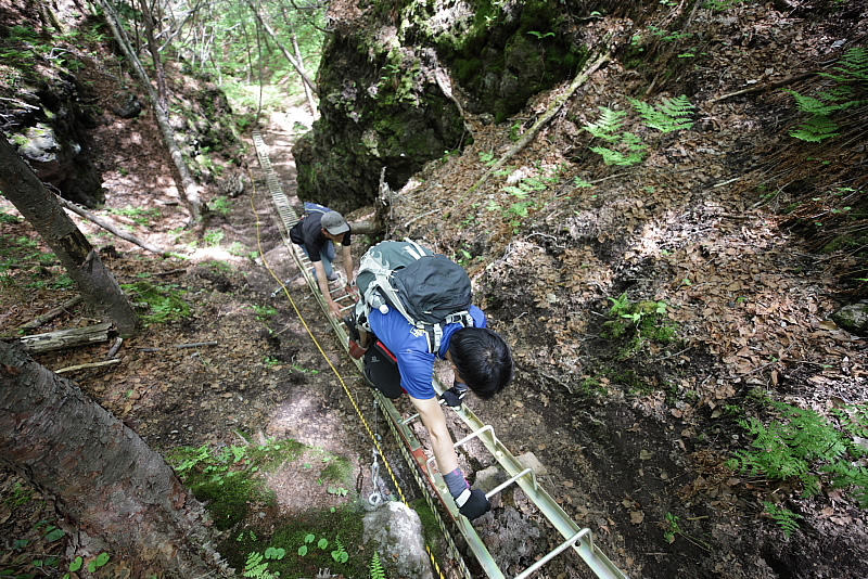
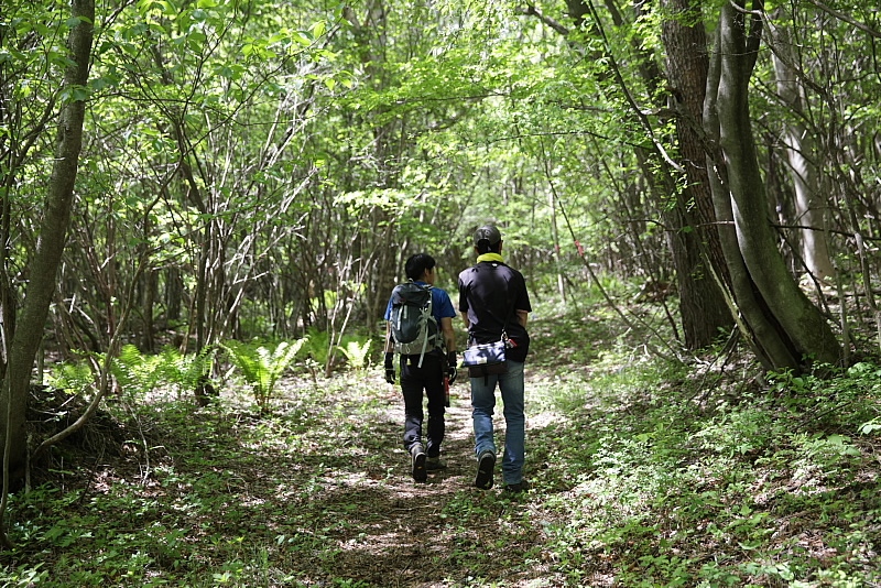
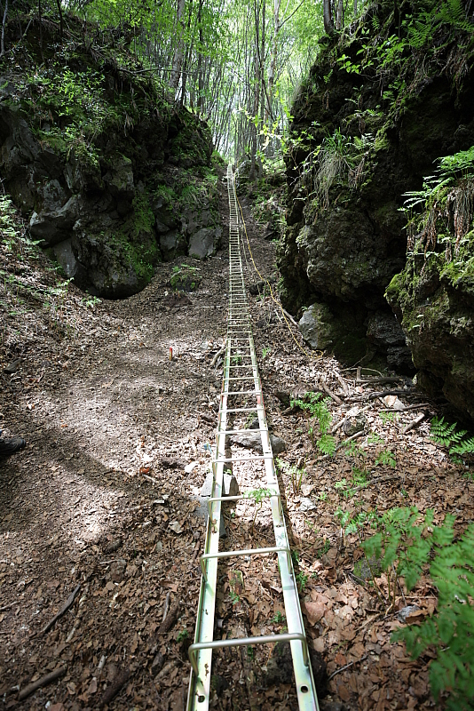
The total length of this course is 6 km, with a vertical difference of 350m. The course normally takes about 4 hours for an adult to complete at a relaxed pace. There are some steep slopes, so please prepare appropriate clothing, shoes, and equipment for trekking.


View point map of Sky Rock Trail is below.
※Open PDF file in new window.
Sky Rock Trail is organized by Asama Geopark Promotion Council.
Please contact to Asama Geopark Promotion Council.
Phone number : 0279-82-5566

